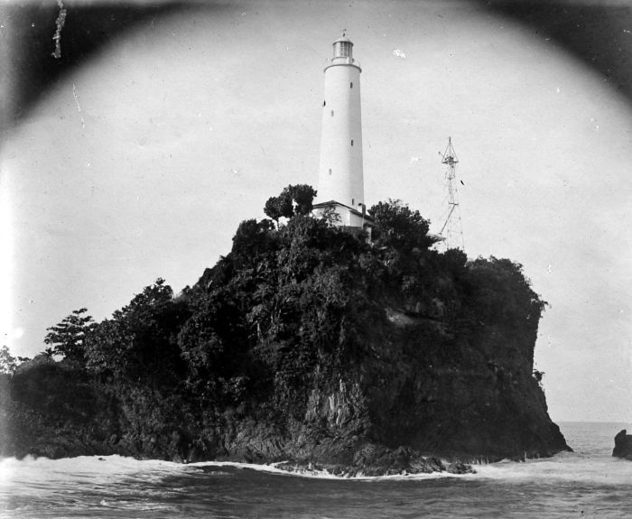
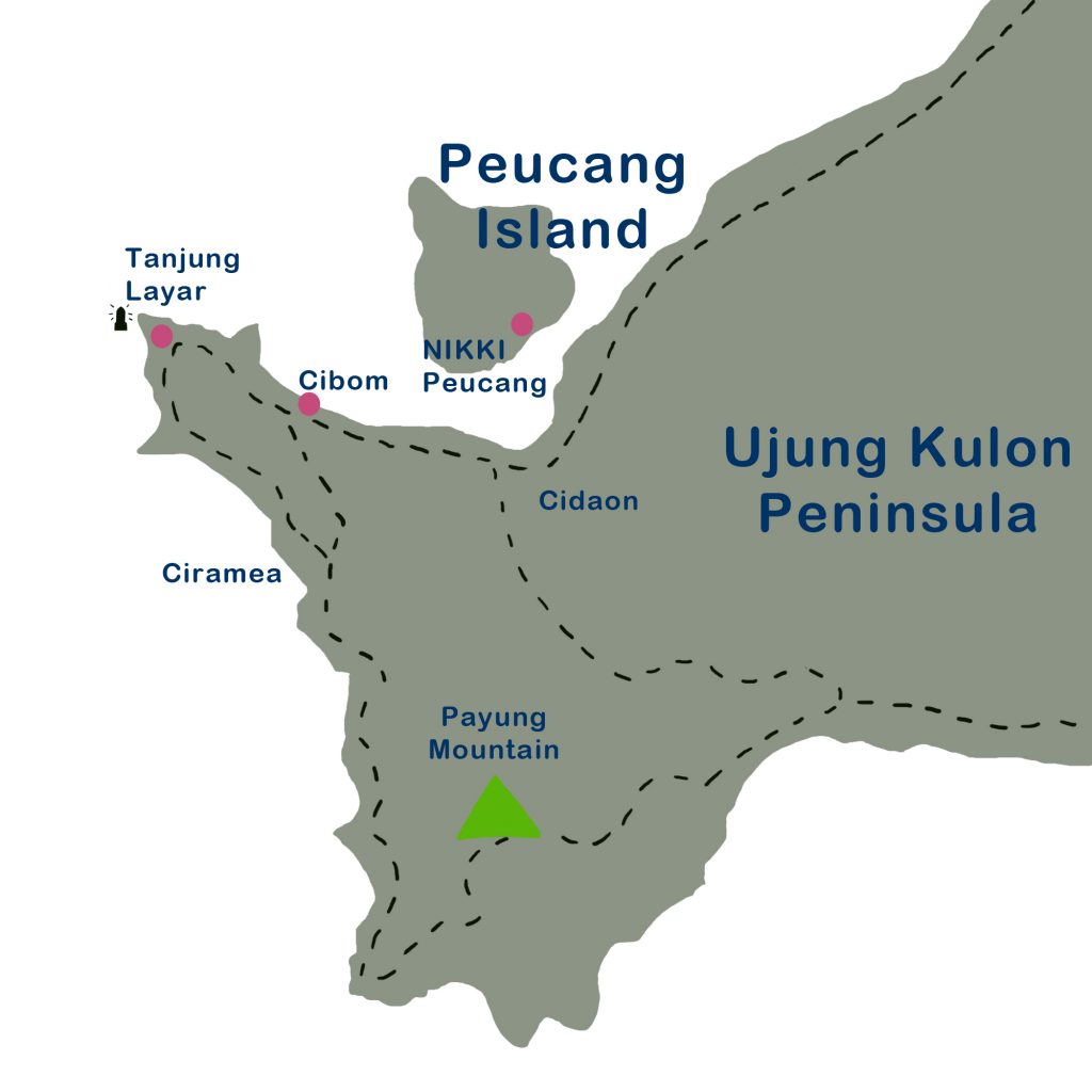
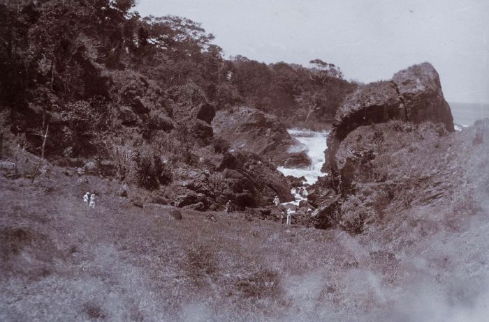
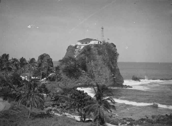
The end of this route is a steep cliff that looks like a big sail (layar) from the sea. So it is called Tanjung Layar. For the ships which coming from the Indian Ocean, the cliff is a sign of the entrance to the Sunda Strait on the east side. So this spot is often called Java Head or Java’s First Point.
The Sunda Strait began to become a busy sea tunnel by international traders in the 16th century. When Malacca fell under Portuguese rule in 1511, Muslim traders such as those from Gujarat began searching for new trade routes to the archipelago. They chose to establish relations with the Muslim Sultanate of Banten rather than with the Portuguese who embraced Christianity. When it came to Indonesia in 1596, the Dutch also avoided the Malacca Strait and chose to enter the archipelago through the Sunda Strait to avoid Portuguese troops.
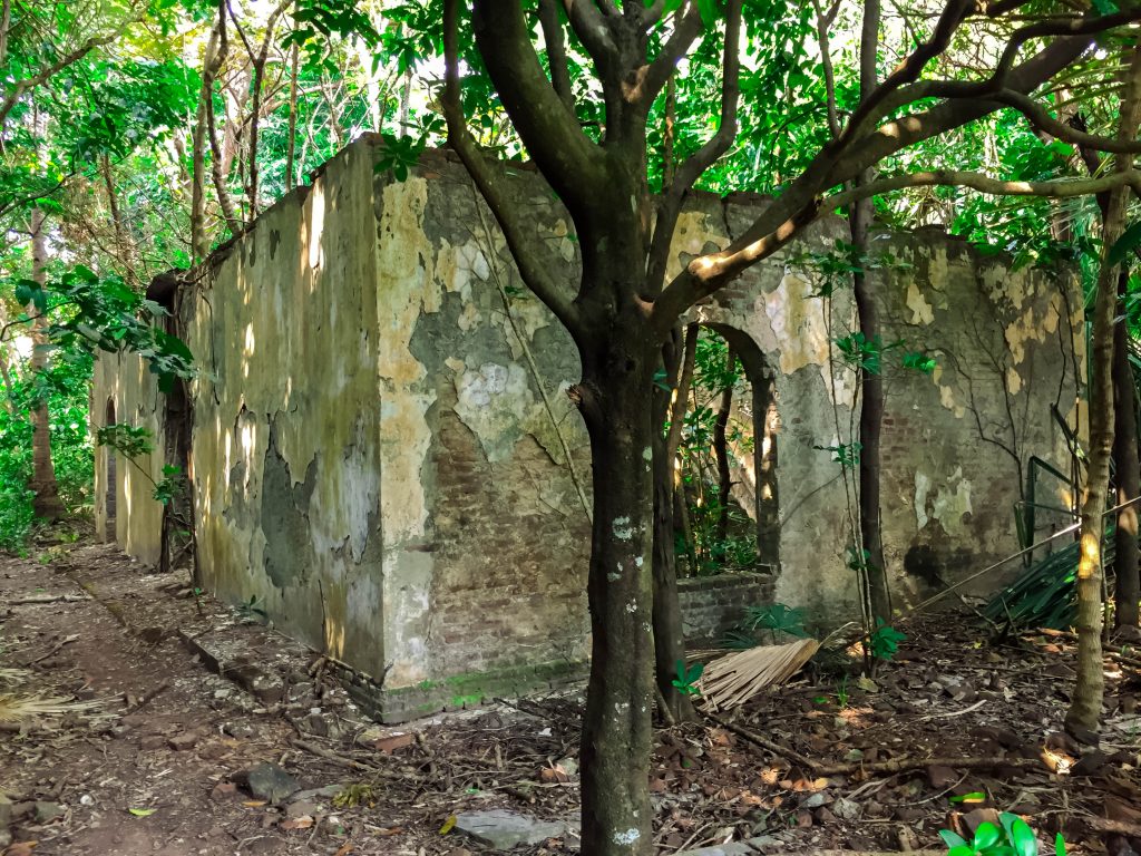
As a busy maritime route, a lighthouse can be built as a port gate marker or a sign of a large coral and shallow water area. The first lighthouse on Tanjung Layar was built in 1877. The building is in the form of a 16 meter square black metal frame tower. The structure of this building was damaged only three years after, by the earthquake on September 1, 1880. The second lighthouse was immediately built. No information was found when this second lighthouse was built. The building is a white-painted brick tower. In 1906 the second lighthouse was again damaged by an earthquake. There is information that the building’s foundation is undamaged and used as rainwater reservoirs by officers. The second lighthouse was replaced by a tapered skeletal tower. The lighthouse still operating at Tanjung Layar is currently the fourth tower, square tapered metal framework tower, which was built in 2005.

